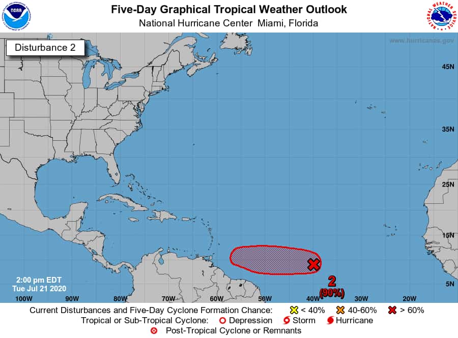
Midday weather report and update on Tropical wavewith Low pressure area from the Meteorological Services Argyle International Airport, St. Vincent & the Grenadines
Latest analysis, satellite imagery and wind-data indicate that the tropical wave and associated low pressure area midway between the western coast of Africa and the Lesser Antilles are now separate.
The tropical wave has moved ahead of the low pressure area and could approach the islands with scattered showers and isolated thunderstorms across SVG Thursday night into Friday.
The low pressure area continues to get better organized and environmental conditions are currently favouring development, with a high chance (80%) that a tropical depression could form later today. However, conditions could become less favorable by this weekend as the low pressure area approaches the island chain/Lesser Antilles.

